Wielkopolska Digital Library contains 450 543 digital objects
Object
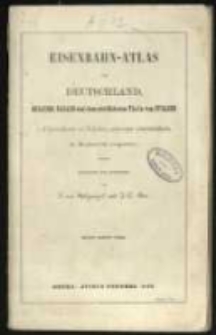
Title: Eisenbahn-Atlas von Deutschland, Belgien, Elsass und dem nördlichsten Theile von Italien in 16 Specialkarten auf 13 Blättern, nebst einer Uebersichtskarte. In Kupferstich ausgeführt. , Entworfen und gezeichnet von S. von Stülpnagel und J. C. Bär
Contributor:
Publisher:
Place of publication:
Description:
14x23 cm; mapa dodatkowa 39,1x32,4 cm ; [2] k., 13, [1] ark. map ; [Zawiera:] Deutchland und anliegende Länder, zur :Ubersicht der Eisenbahnen und Hauptstrassen ; K. 2a stanowi luźną kartkę z dwoma naszkicowanymi ręcznie portretami ; Na odwrocie mapy doklejonej na końcu rkps odjazdy z Drezna do Radoberg
Language:
Rights Management:
Rights:
Access rights:
Digitisation:
Digitisation sponsor:
Location of original object:
Digital object format:
Signature:
Object collections:
- Digital Library of Wielkopolska > Digital Library of Wielkopolska
- Digital Library of Wielkopolska > Digital Library of Wielkopolska > Cultural heritage
- Digital Library of Wielkopolska > Instytucje współtworzące > Biblioteka Kórnicka PAN
Last modified:
Oct 14, 2019
In our library since:
Oct 14, 2019
Number of object content hits:
285
Number of object content views in DjVu format
84
All available object's versions:
https://wbc.poznan.pl/publication/538529
Show description in RDF format:
Show description in OAI-PMH format:
Objects Similar
Hanser G.
Bilsy, William
Mairet Brion

